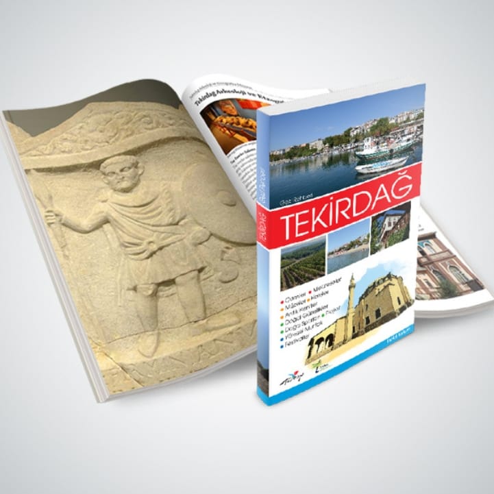
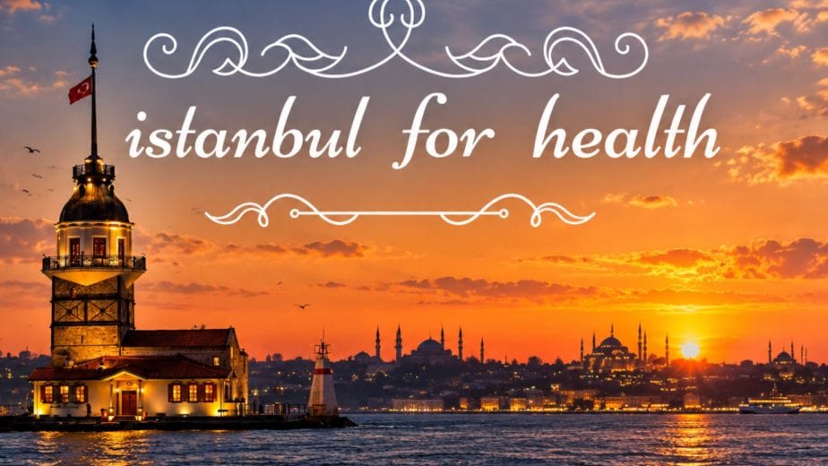
We approached our travel guides not simply as publications that bring together existing tourist attractions, but as destination studies that reveal a city’s tourism potential.
We explored each city as a whole—from its centre and surrounding districts to its history, culture, gastronomy, natural assets and alternative tourism opportunities. By tracing the values that make each place distinctive, we developed original itineraries and tourism routes.
What should you discover in a city, and how should you explore it?
Together with a team of tourist guides, art historians, tourism editors and city photographers, we went into the field. We researched sources, observed each destination first-hand and asked the same question in every city:
Why should you visit this city, what should you discover, and how should you explore it?
From history and cultural heritage to gastronomy and natural assets; from year-round activities to accommodation, shopping and transport information, we created a comprehensive content system.
As a result, each book became more than a travel guide: it became a destination publication that transforms a city’s tourism inventory into an experience that can be discovered and explored.
Our Role
Research & Destination Analysis: Revealing the city’s tourism potential through fieldwork and source research. Content & Route Development: Identifying tourism points, experiences and original itineraries and developing a visitor-focused content system. Mapping & Information Design: Developing tourism maps, route diagrams, graphics, icons and visual information systems that make the visitor journey easier to follow. Photography & Visual Documentation: Documenting historic sites, natural landscapes, gastronomy and urban life through dedicated photography. Editorial Design & Publishing: Creating the editorial structure, visual language and publication design of the guides. Multilingual Publishing: Adapting content for different target markets and preparing publications for international visitors.
From research to routes, from maps to publishing
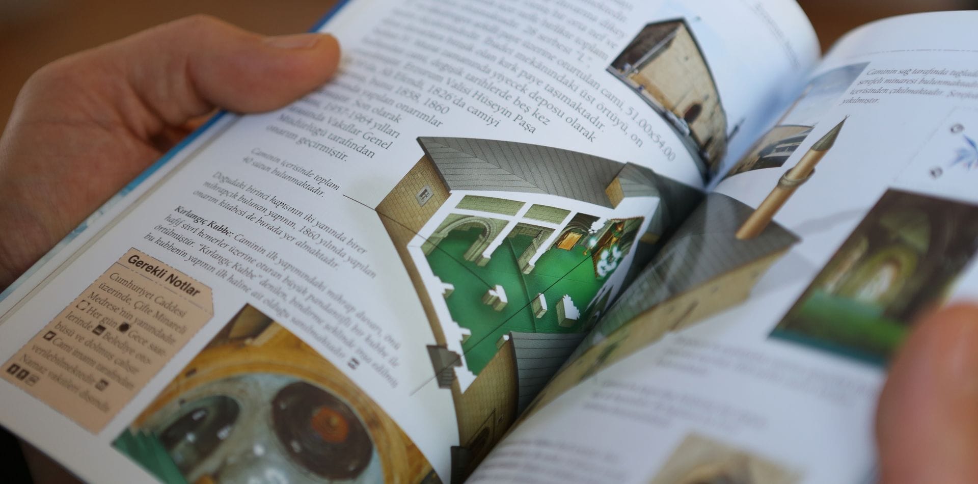
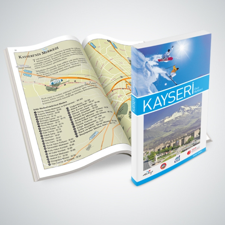
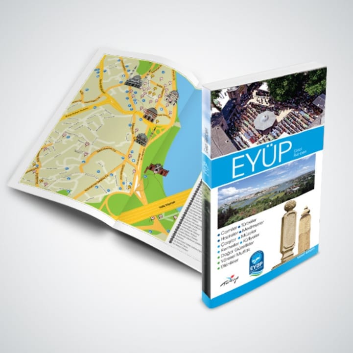
We documented attractions, historic buildings, natural areas and everyday city life through dedicated photography. To make historic and architectural structures easier to understand, we developed illustrations; and to help visitors follow the routes, we created tourism maps, route diagrams, graphics and icon systems.
We designed maps not simply as tools for showing locations, but as guiding elements that make the itineraries we developed clear and easy to follow.
Cities in the palm of your hand
We researched, went into the field and followed the traces of each place. We sought to understand the cities through their history, culture, natural assets and everyday life, transforming this knowledge into routes, maps, photographs and stories.
With original content, routes and maps, we put cities in the palm of your hand.
12 cities, 2 regional guides
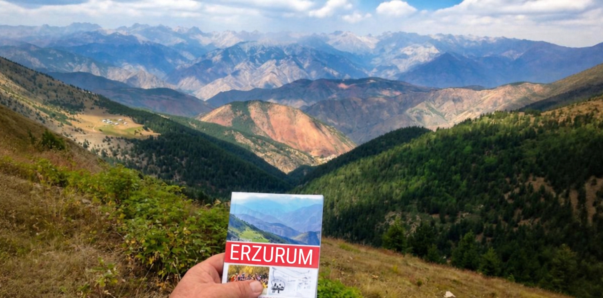
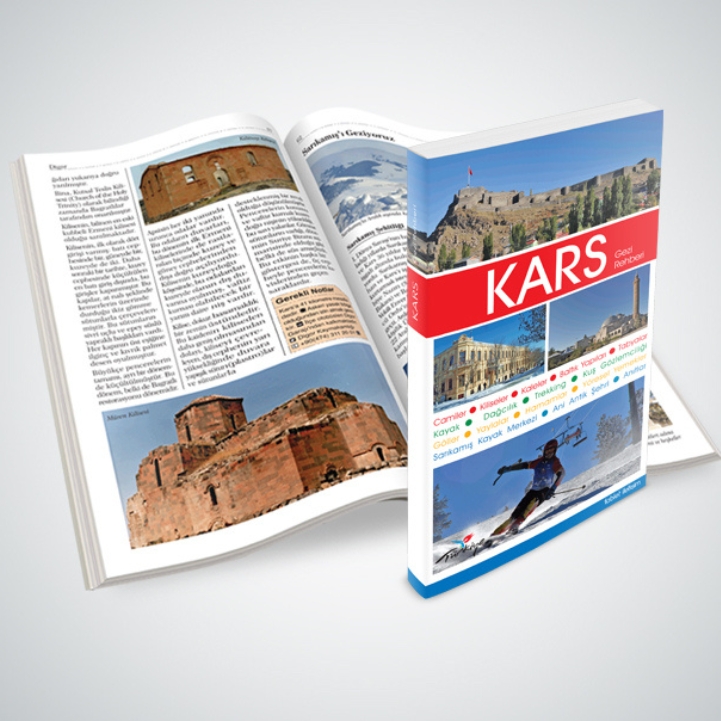
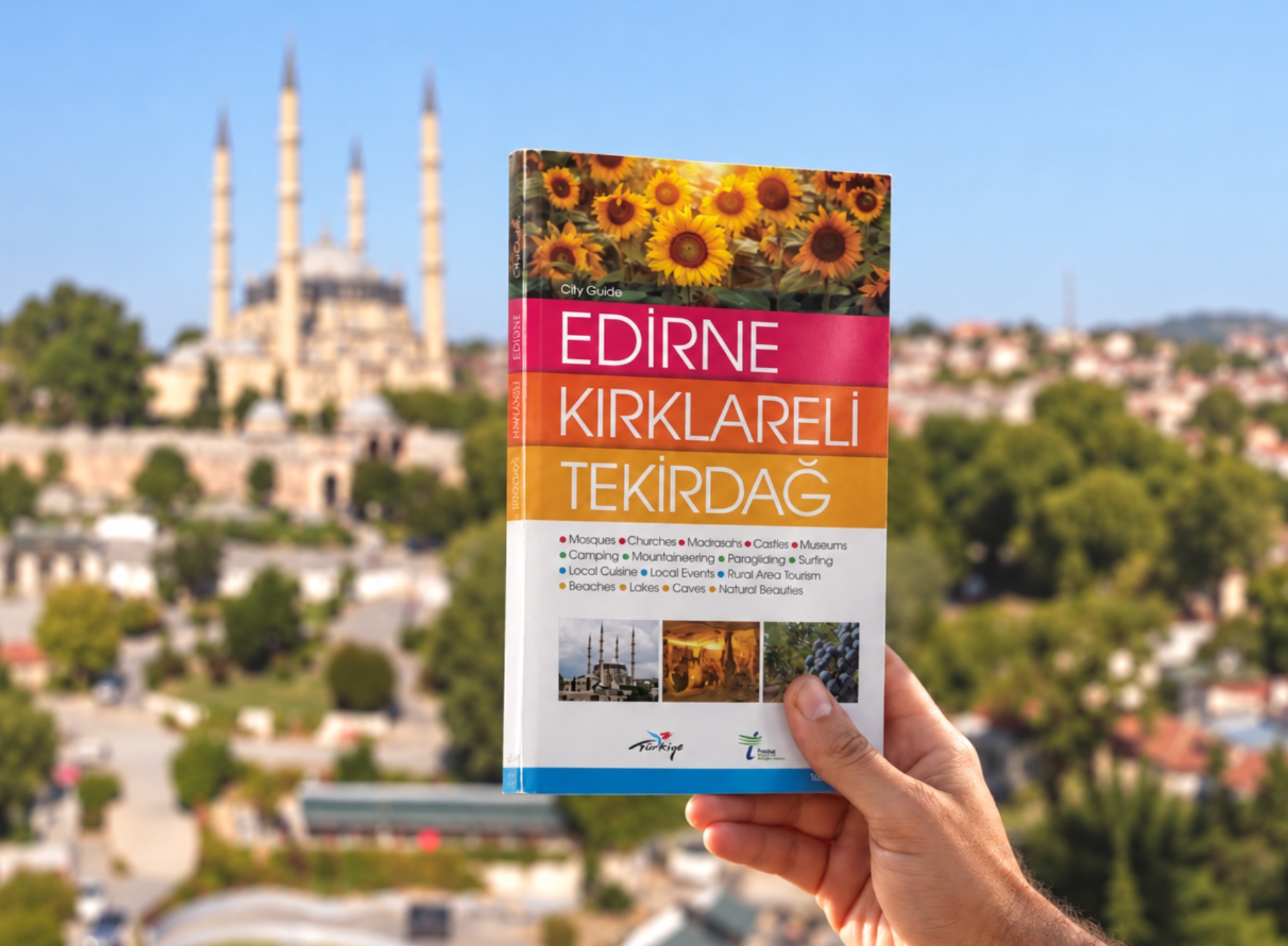
To date, we have produced travel guides for 12 cities, as well as two regional guides bringing together three cities each: Erzurum–Erzincan–Bayburt and Edirne–Kırklareli–Tekirdağ. In addition, we developed a dedicated travel guide for Eyüpsultan.
We published English editions of all our travel guides. Depending on each city’s target markets, selected guides were also produced in Arabic, Persian, Russian, Japanese and German, in addition to Turkish and English.
A new project, event, communication idea, or a thought that’s still taking shape? Tell us a little about it, and let’s see what we can create together.
Bir fikriniz mi var?
Yeni bir proje, etkinlik, iletişim fikri ya da henüz tam olarak şekillenmemiş bir düşünce… Birkaç cümleyle anlatın, birlikte neler yapabileceğimize bakalım.